Photography portfolio
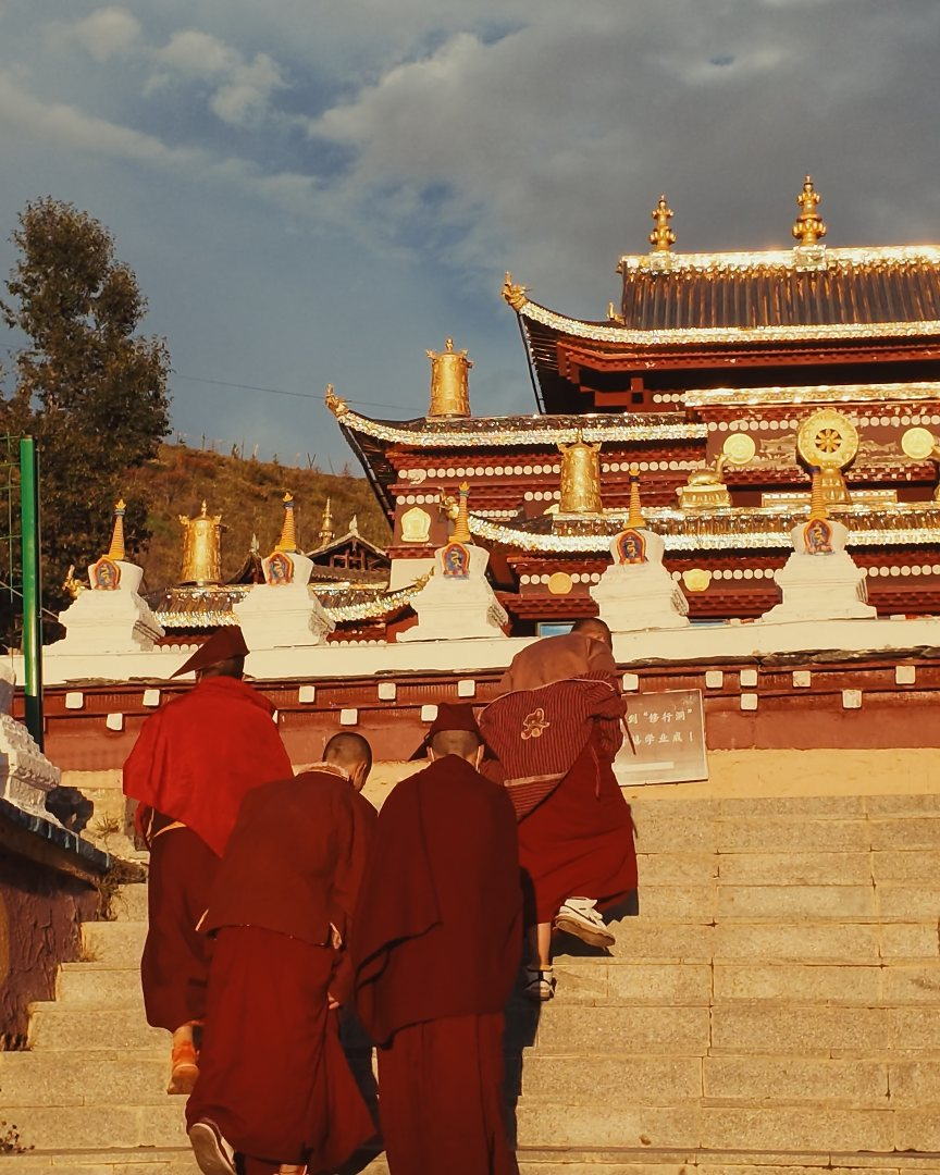
Frames from these roads
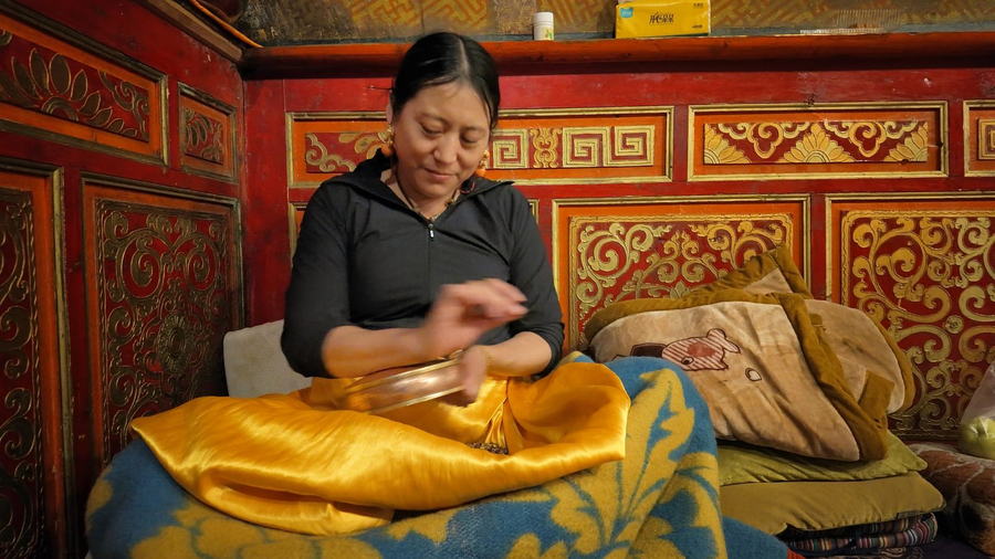
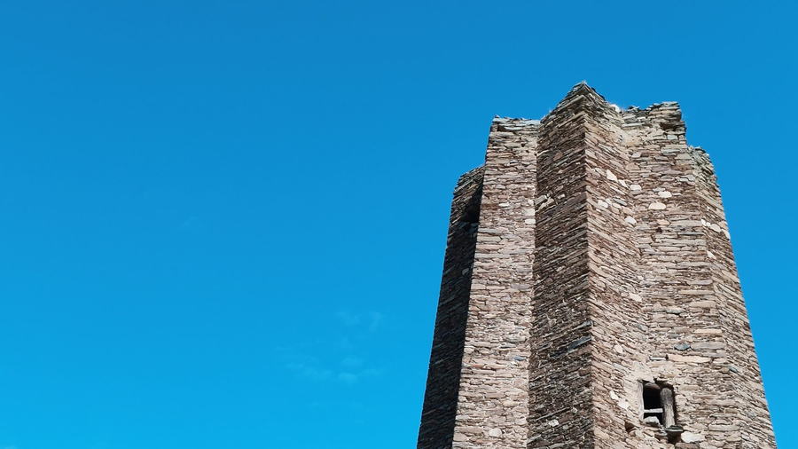
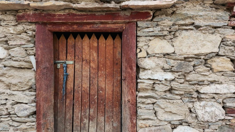
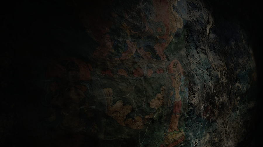
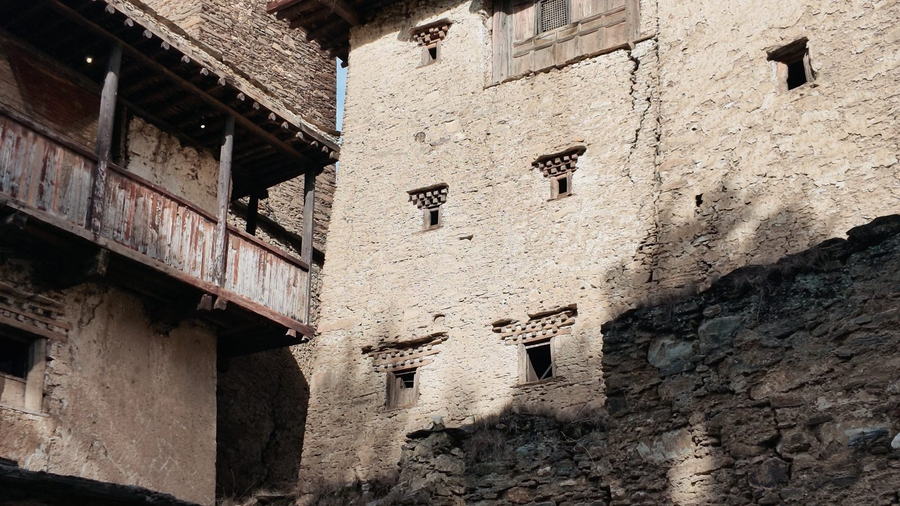
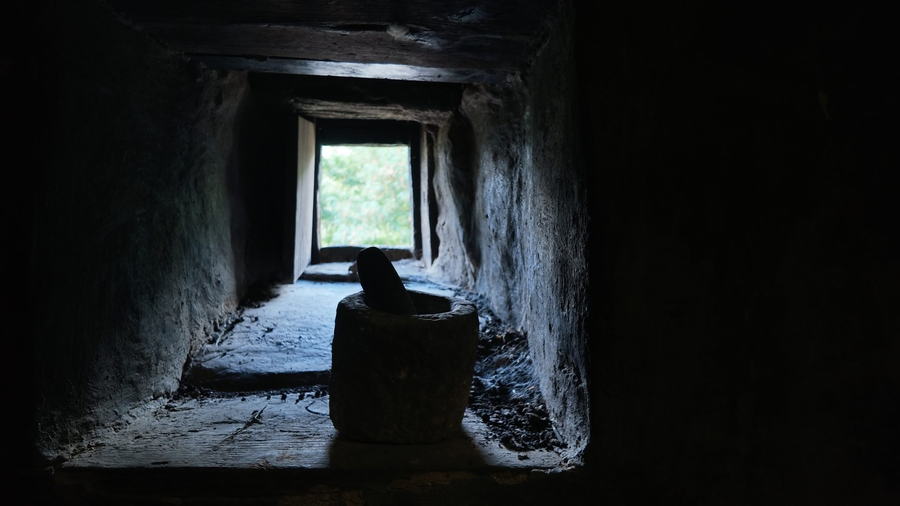
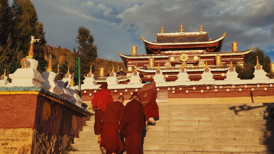
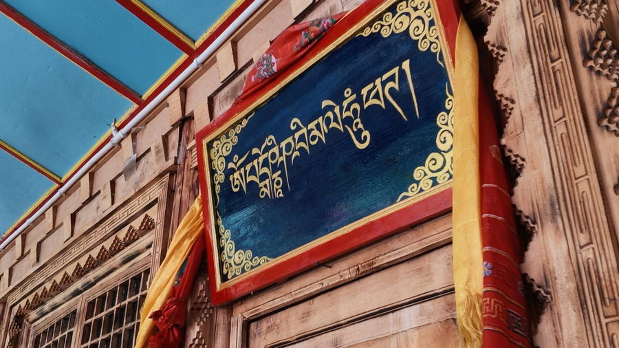
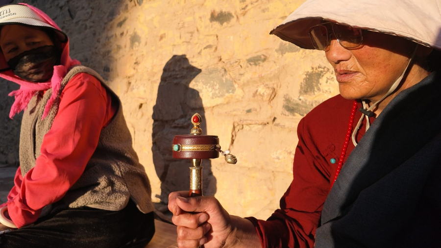
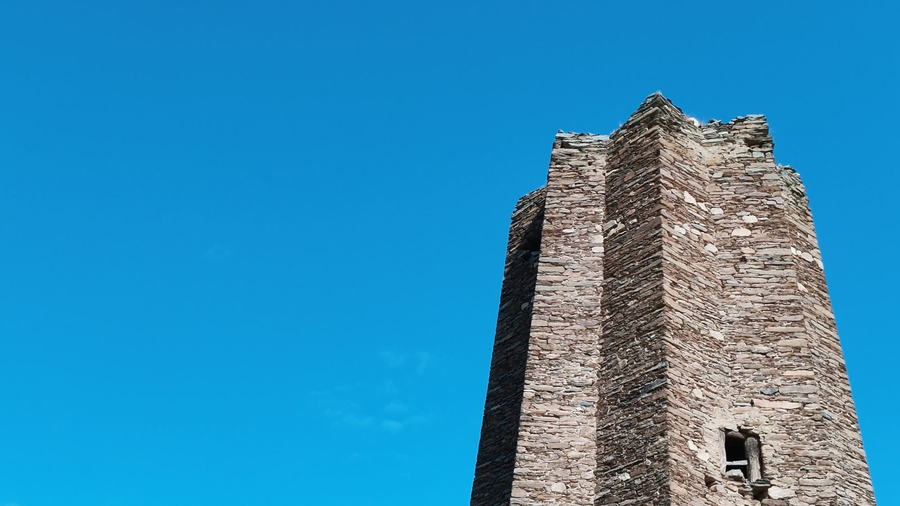
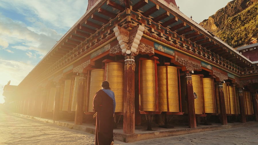
Everything below was filmed by me, on the same routes these guides describe. Full, uncut POV driving films are on my YouTube channel.
TK's Travel Book · Western Sichuan · Qinghai · Yunnan
Photographer and driver-guide on the eastern edge of the Tibetan Plateau. This notebook is everything I've learned out there: where to go, when the light lands, and what it takes to get there.
Latest guides
Danba, two nights in a nomad's black tent on the grassland, Litang, then the monasteries of Baiyu, Derge and Dzogchen.
Pandas at Shenshuping, the four peaks, Danba's watchtowers, the Tagong grassland — and Leshan Buddha on the way home.
Every guide in this notebook starts from a trip I've driven myself — start from the places I know best.
Tell me where you start, how long you have and how you like to travel — I'll suggest a route.
Photography portfolio
Everything below was filmed by me, on the same routes these guides describe. Full, uncut POV driving films are on my YouTube channel.
About the notebook
I'm TK Chang — a photographer and driver-guide based in Western Sichuan, on the eastern edge of the Tibetan Plateau.
I've spent years driving these mountain roads: the passes above 4,000 meters, the valley villages, the grasslands where weather turns in twenty minutes. I know where the light lands at sunrise, which bend gives you the mountain in frame, and when to stop the car — because I shoot these roads all year.
That knowledge is the whole point of this notebook. Everything here comes from trips I've driven and photographs I've taken myself, not from reading other people's lists.
I also publish real-time POV driving films from these roads on YouTube — uncut, what you see is what the drive actually looks like. Watch a few before you decide.
Guests often ask whether I'll photograph their trip. Honestly: the useful thing I bring isn't a second camera, it's knowing where the good shots are. If you shoot — or just want your phone photos to finally look like the place — I'll put you in the right spot at the right hour. If you'd rather watch the mountains go by, that works too.